![]()
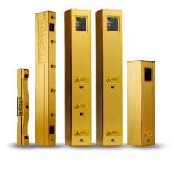
Learn more about our scanners at: https://joescan.com![]()
All measured points from a scan head are returned in a cartesian coordinate system and represent a two-dimensional point cloud in a plane (the laser line plane). Together with the direction of travel (as measured by the encoder), a sequence of profiles form a point cloud in a three-dimensional coordinate system. The handedness of this system is determined by the LaserUpstream parameter.
LaserUpstream = true (default) | LaserUpstream = false | |
|---|---|---|
| Laser Orientation |
Overview
Content Tools

